|
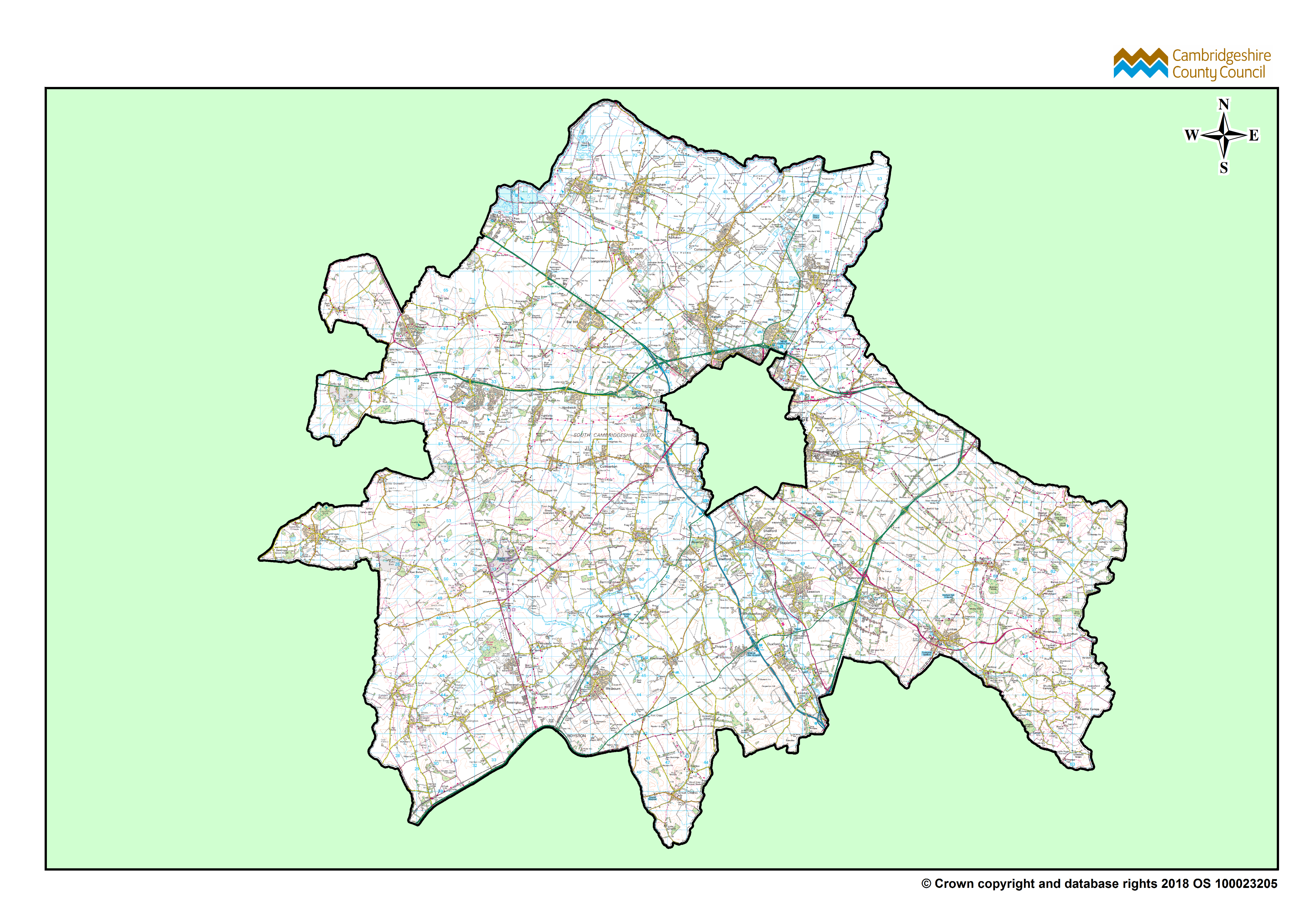
Download
South Cambridgeshire Ward Boundaries Map
, Format: PNG, Dataset: GIS Maps
|
PNG
|
02 August 2025
|
Not available
|
|
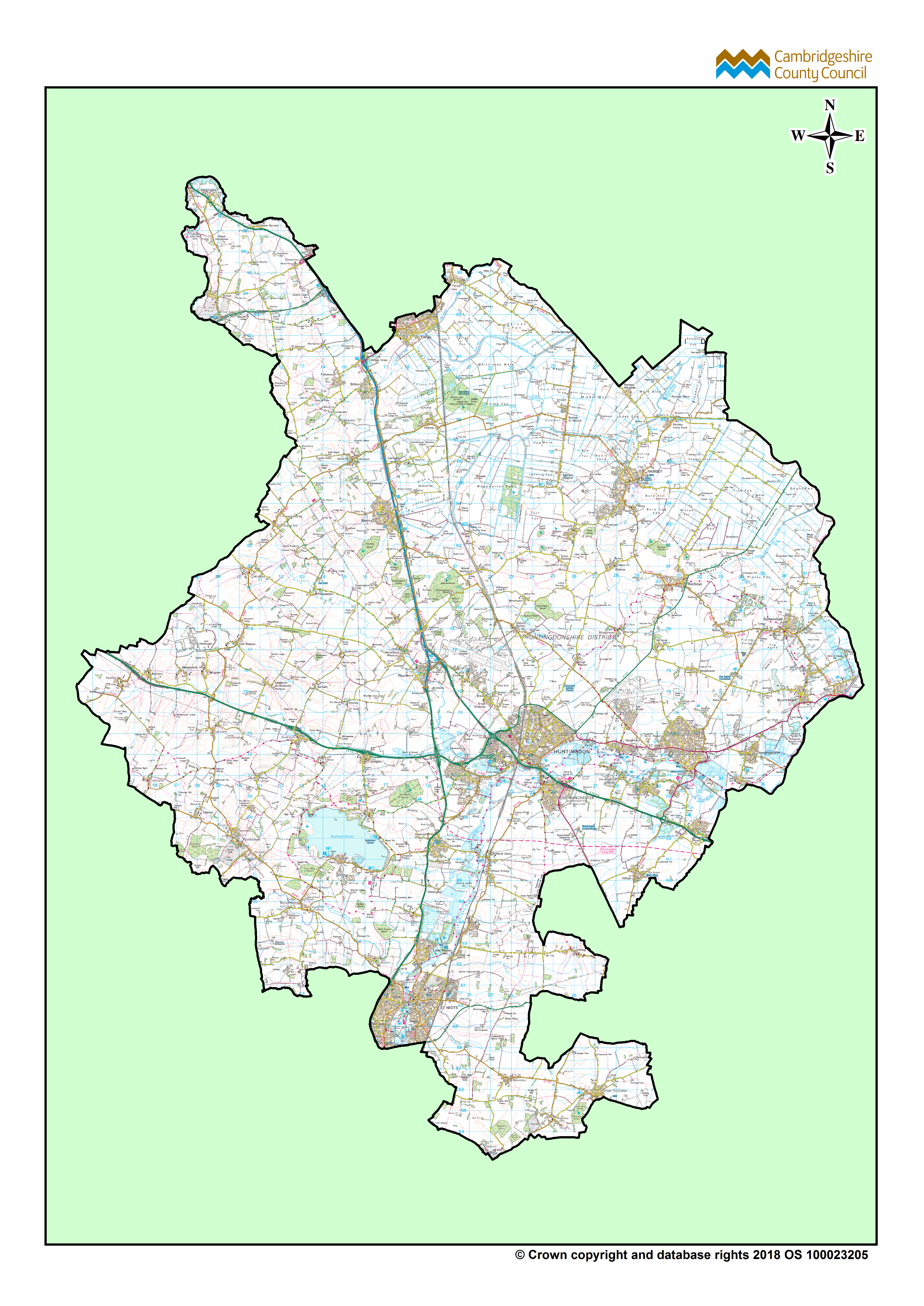
Download
Huntingdonshire Ward Boundaries Map
, Format: PNG, Dataset: GIS Maps
|
PNG
|
02 August 2025
|
Not available
|
|
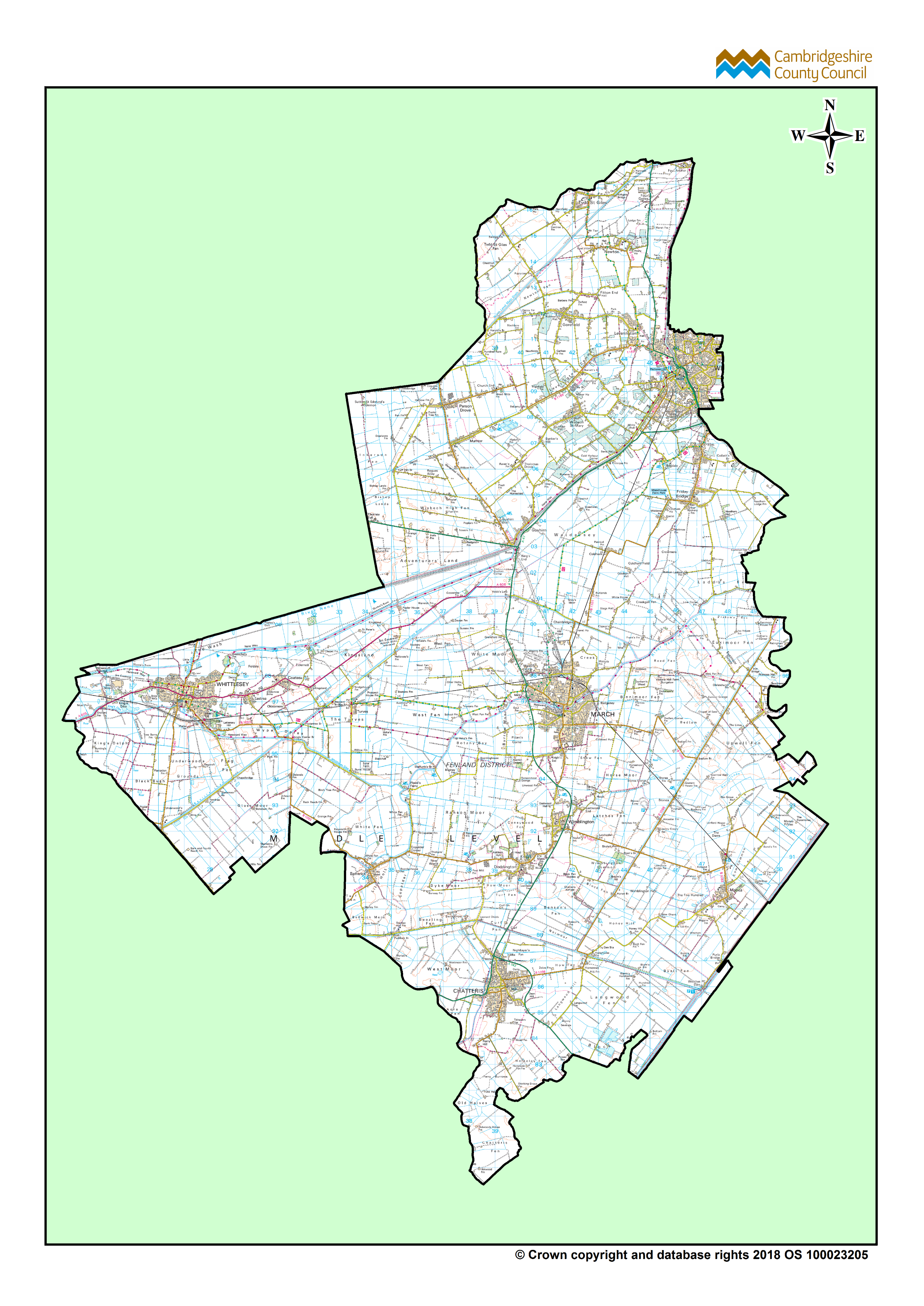
Download
Fenland Ward Boundaries Map
, Format: PNG, Dataset: GIS Maps
|
PNG
|
02 August 2025
|
Not available
|
|
Download
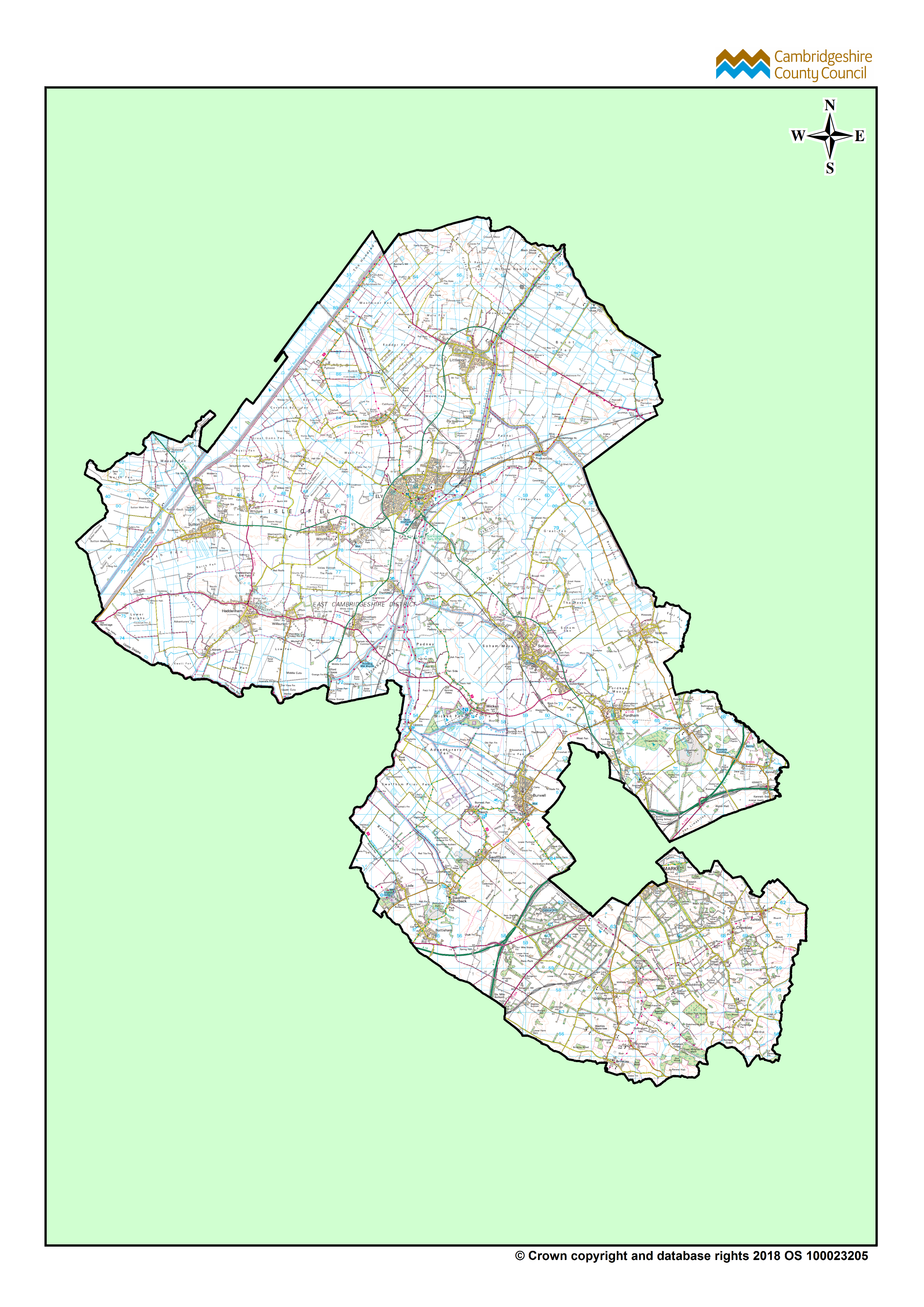
East Cambridgeshire Ward Boundaries Map
, Format: PNG, Dataset: GIS Maps
|
PNG
|
02 August 2025
|
Not available
|
|
Download
Cambridge Ward Boundaries Map
, Format: PNG, Dataset: GIS Maps
|
PNG
|
02 August 2025
|
Not available
|
|
Download
Cambridgeshire and Peterborough Overview Ward Boundaries Map
, Format: PNG, Dataset: GIS Maps
|
PNG
|
02 August 2025
|
Not available
|
|
Download
Cambridgeshire Boundary Map
, Format: PNG, Dataset: GIS Maps
|
PNG
|
02 August 2025
|
Not available
|
|
Download
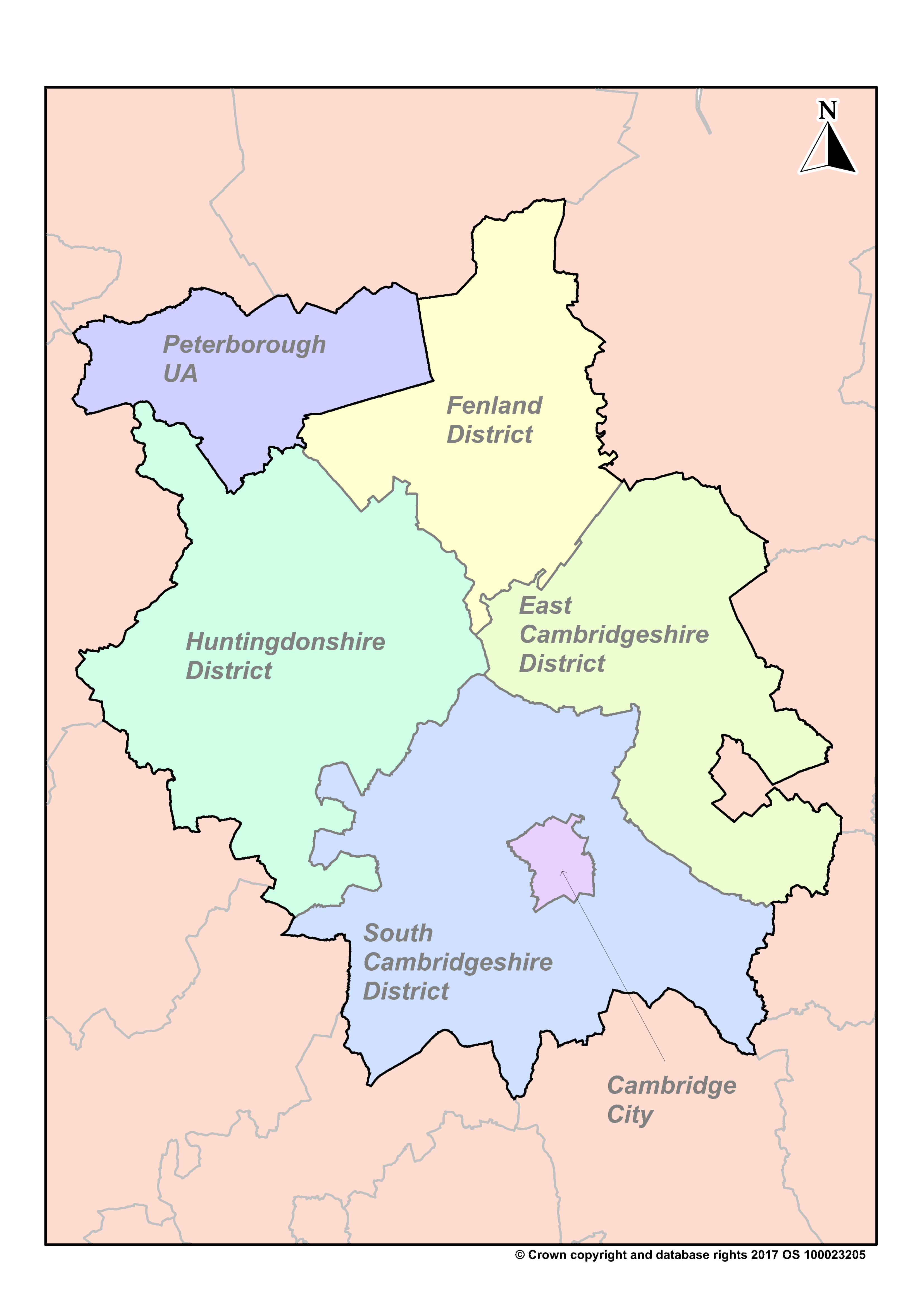
Cambridgeshire and Peterborough District Boundary Map
, Format: PNG, Dataset: GIS Maps
|
PNG
|
02 August 2025
|
Not available
|
|
Download
Cambridgeshire and Peterborough Boundary Map
, Format: PNG, Dataset: GIS Maps
|
PNG
|
02 August 2025
|
Not available
|
|
Download
Cambridgeshire and Peterborough Parish Boundaries Map (2024)
, Format: PDF, Dataset: GIS Maps
|
PDF
|
02 April 2025
|
Not available
|
|
Download
Cambridgeshire and Peterborough Parish Map
, Format: PDF, Dataset: GIS Maps
|
PDF
|
21 December 2019
|
Not available
|
|
Download
Cambridgeshire Parishes
, Format: PNG, Dataset: GIS Maps
|
PNG
|
21 December 2019
|
Not available
|
|
Download
LEP (Local Enterprise Partnership) with Settlements / Roads
, Format: PNG, Dataset: GIS Maps
|
PNG
|
21 December 2019
|
Not available
|
|
Download
Combined Authority Housing Market Area
, Format: PNG, Dataset: GIS Maps
|
PNG
|
21 December 2019
|
Not available
|
|
Download
Regional Growth Corridor
, Format: PNG, Dataset: GIS Maps
|
PNG
|
21 December 2019
|
Not available
|
|
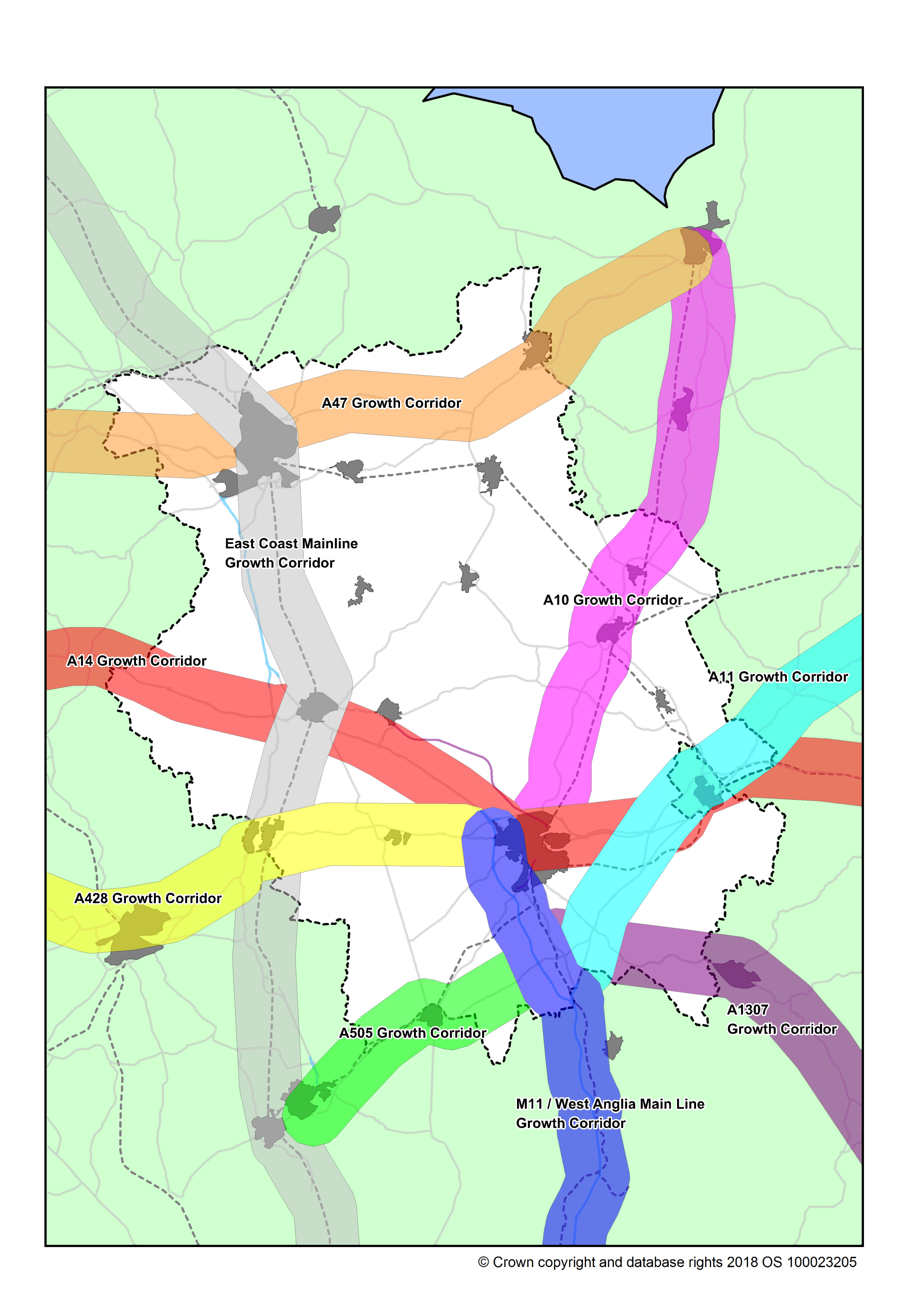
Download
County Growth Corridor
, Format: PNG, Dataset: GIS Maps
|
PNG
|
21 December 2019
|
Not available
|
|
Download
Basic South Cambridgeshire Map
, Format: PNG, Dataset: GIS Maps
|
PNG
|
21 December 2019
|
Not available
|
|
Download
Basic Huntingdonshire Map
, Format: PNG, Dataset: GIS Maps
|
PNG
|
21 December 2019
|
Not available
|
|
Download
Basic Fenland Map
, Format: PNG, Dataset: GIS Maps
|
PNG
|
21 December 2019
|
Not available
|
|
Download
Basic East Cambridgeshire Map
, Format: PNG, Dataset: GIS Maps
|
PNG
|
21 December 2019
|
Not available
|
|
Download
Basic Cambridge Map
, Format: PNG, Dataset: GIS Maps
|
PNG
|
21 December 2019
|
Not available
|
|
Download
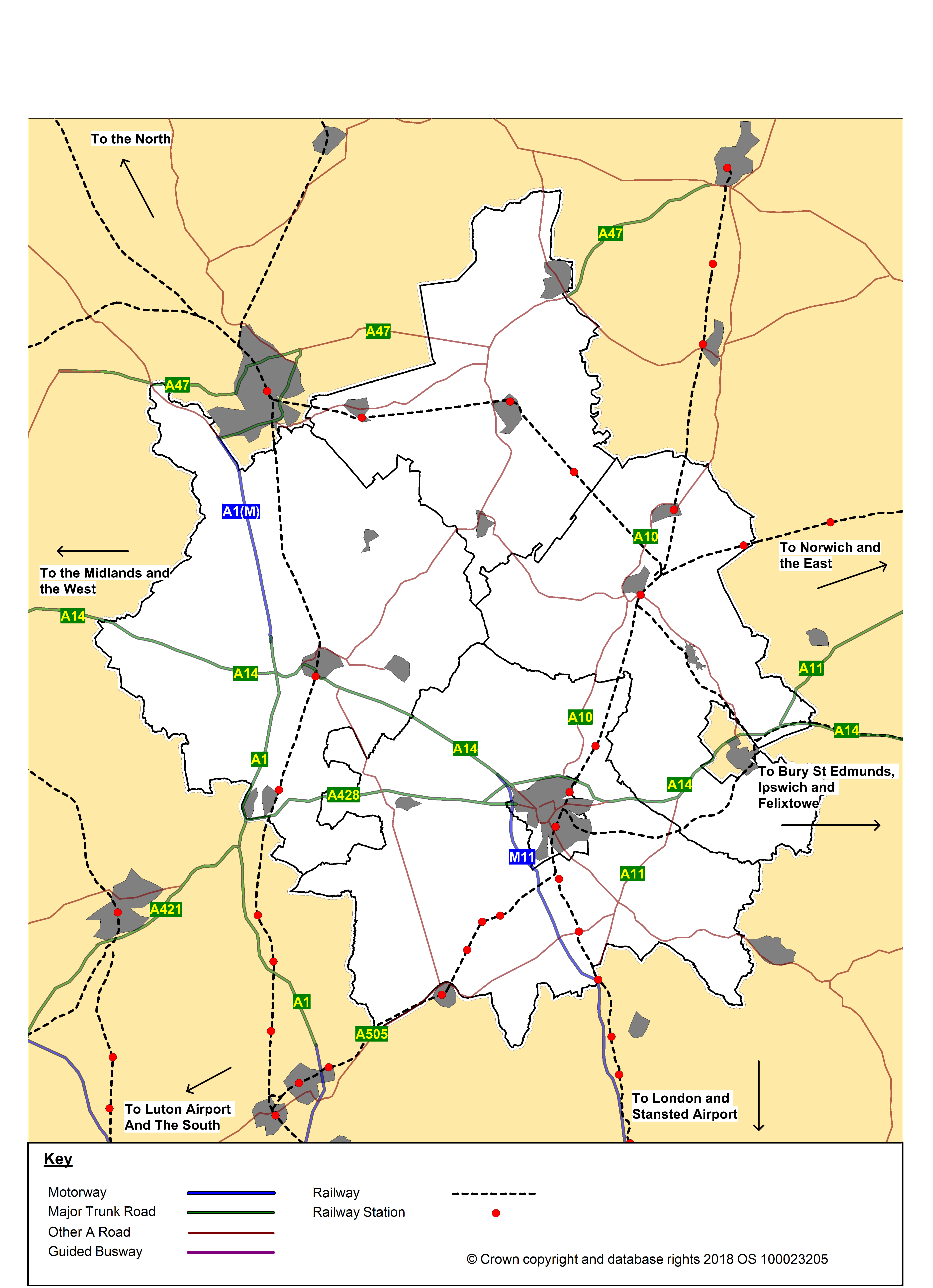
Cambridgeshire Districts with Key Transport Links
, Format: PNG, Dataset: GIS Maps
|
PNG
|
21 December 2019
|
Not available
|
|
Download
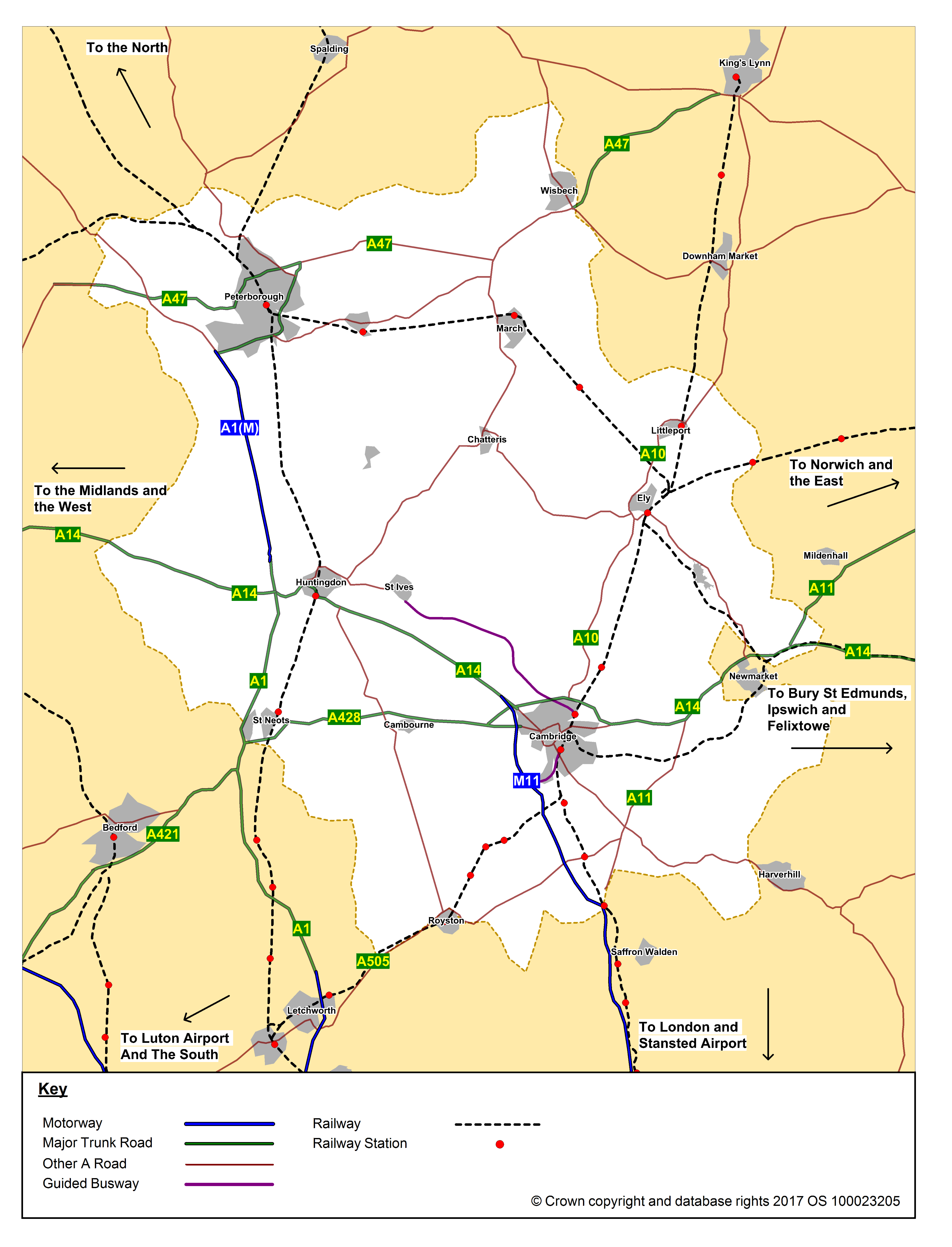
Cambridgeshire Districts - Market Towns and Key Roads
, Format: PNG, Dataset: GIS Maps
|
PNG
|
21 December 2019
|
Not available
|
|
Download
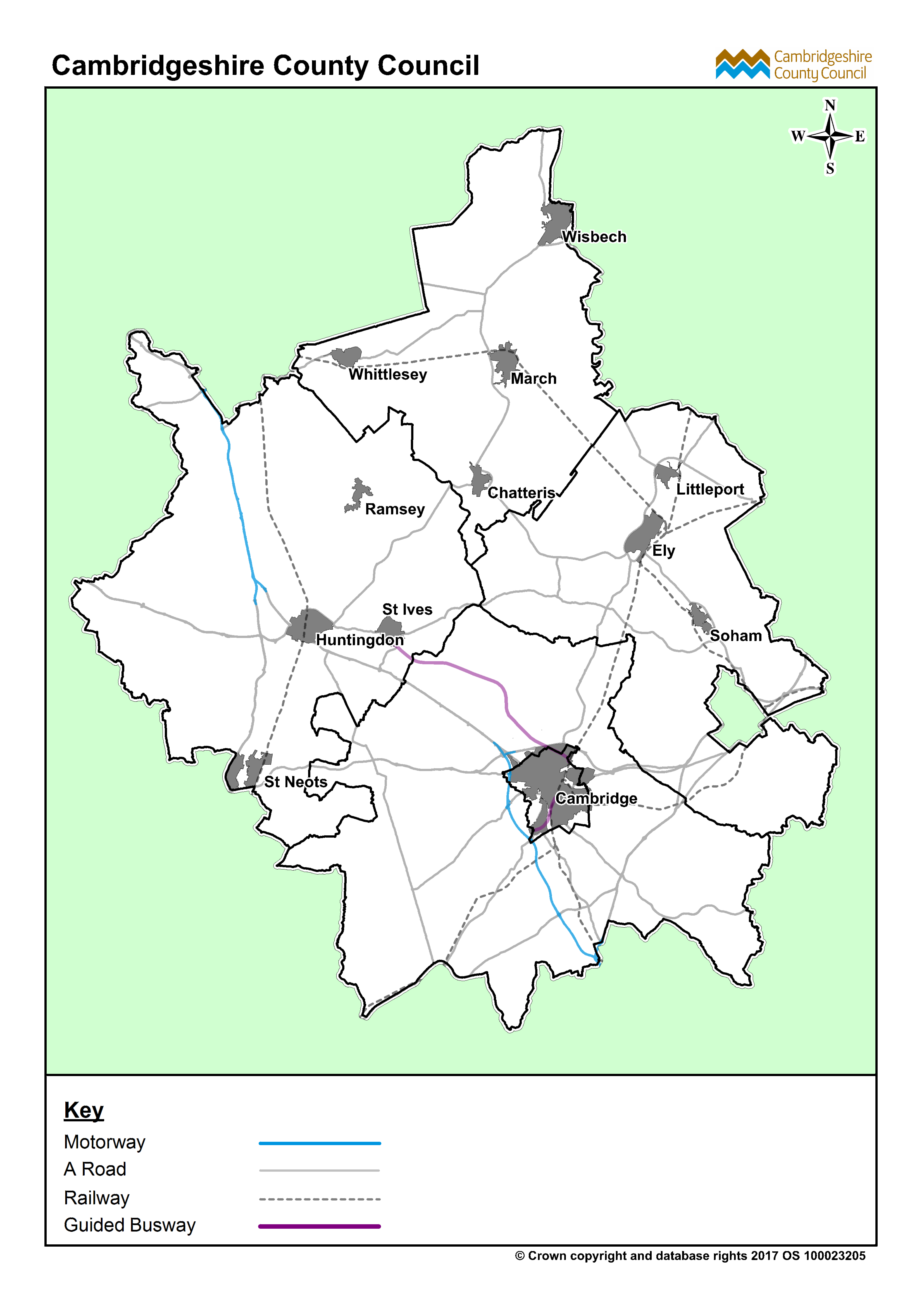
Combined Authority Map with Transport Links
, Format: PNG, Dataset: GIS Maps
|
PNG
|
21 December 2019
|
Not available
|
|
Download
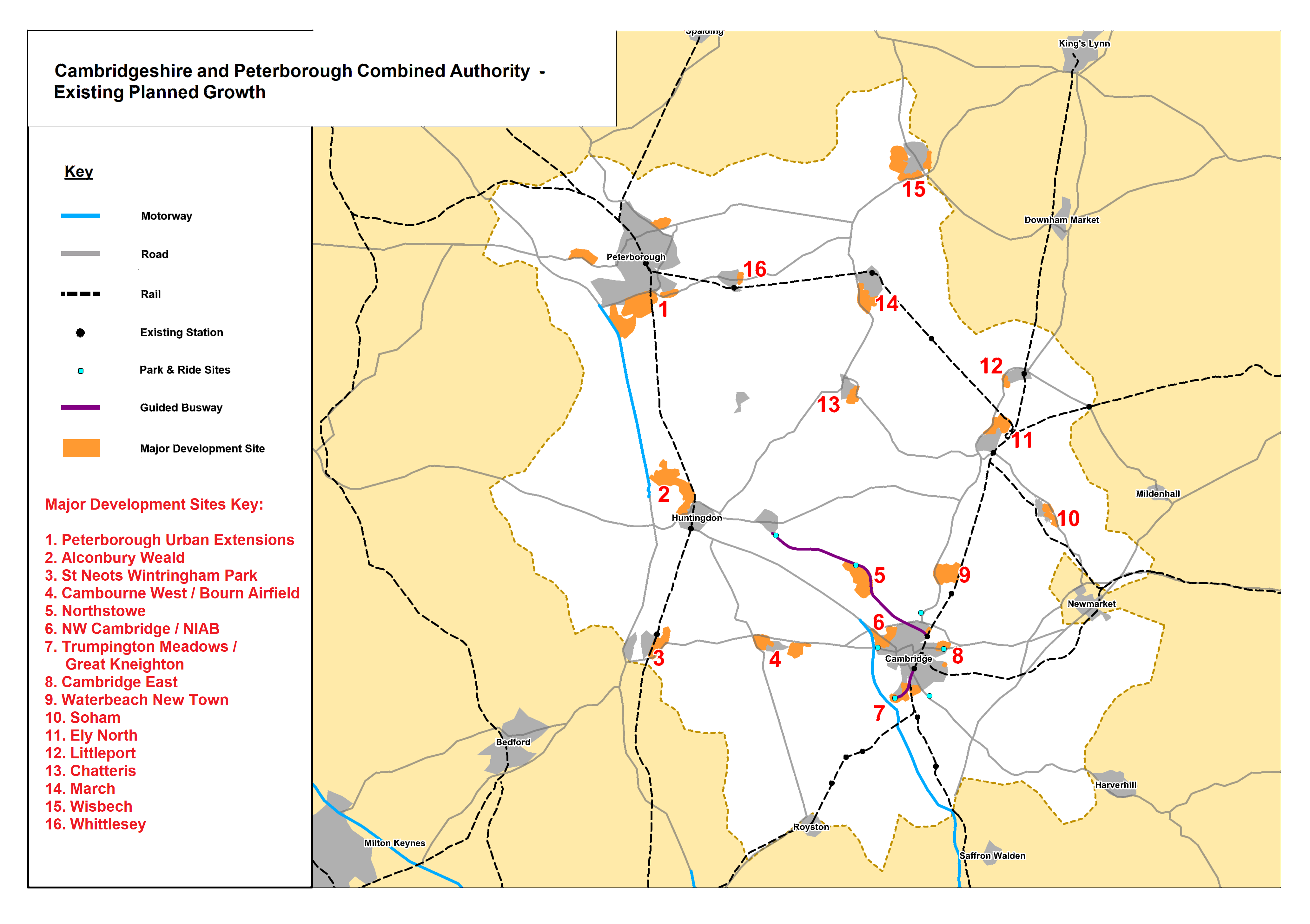
Combined Authority Development Areas
, Format: PNG, Dataset: GIS Maps
|
PNG
|
21 December 2019
|
Not available
|
|
Download
Combined Authority districts with road map
, Format: PNG, Dataset: GIS Maps
|
PNG
|
21 December 2019
|
Not available
|
|
Download
Basic Combined Authority market towns and roads
, Format: PNG, Dataset: GIS Maps
|
PNG
|
21 December 2019
|
Not available
|
|
Download
Basic Combined Authority (no text)
, Format: PNG, Dataset: GIS Maps
|
PNG
|
21 December 2019
|
Not available
|
|
Download
Basic Combined Authority districts
, Format: PNG, Dataset: GIS Maps
|
PNG
|
21 December 2019
|
Not available
|